How to Read a Surf Report
Two forecasts can both say 3 ft and produce completely different days. One is glassy sets with room to set a rail, the other is knee-deep chop that closes out on the sand. The number that separates them is period, and it sits one column across from the height most people check first. NOAA's buoy glossary defines swell as waves not produced by the local wind, arriving at a higher period than the wind chop made nearby, and that single distinction explains most disappointing sessions. This guide goes through a surf report field by field in the order worth reading them: period, height, direction, the split between swell and wind waves, wind, then tide. Every number here comes from official buoy documentation or a published forecasting source, with the links to check them yourself.
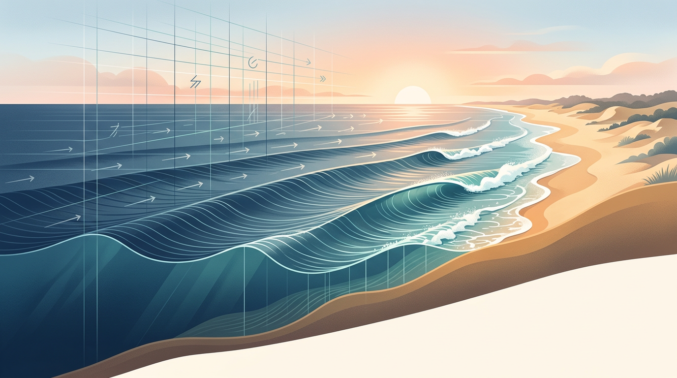
Original Surfex illustration.
Surfex aggregates official buoy documentation and published forecasting guides. Every source links to its original page so you can check the definition yourself.
The short version: period before height, then direction, then wind, then tide. Period tells you whether the energy came from a distant storm or from yesterday's sea breeze. Height is an open-ocean average of the biggest third of waves, not the face you will ride. Direction decides whether your spot receives the swell at all. Wind decides whether the face stands up, and tide decides where it breaks.
Period is the number that decides the day
Period is the gap in seconds between two wave crests passing the same point. Long gaps mean the energy came from a storm far offshore and has had time to sort itself into ordered lines. Short gaps mean the wind that made those waves is probably still blowing on them.
SurferToday puts the practical bands plainly: 1 to 5 seconds is bumpy local chop, 6 to 8 seconds is average wind swell that offshore wind can rescue, 10 to 12 seconds is where groundswell power takes effect, and 13 seconds or more signals high-quality surf. Eisbach Riders reach the same conclusion from the other direction, noting that at identical heights a 14-second swell will almost always beat a 7-second one.
There is a catch worth knowing. Long-period swell wraps into spots that short-period swell never reaches, and it also jumps in size as it hits shallow water. A 2 ft reading at 18 seconds can throw head-high sets on a reef, which is why the same forecast can be under-called and over-called on the same day.
What the height number actually measures
NOAA's buoy centre defines significant wave height as approximately the average of the highest one third of waves, measured trough to crest. It is a statistic, not a promise, and it is taken in open water before the swell interacts with the seabed.
Eisbach Riders give the useful conversion: faces often run close to double the reported swell height at exposed beach breaks, and much less in a sheltered bay. They put the comfortable beginner range at 0.3 to 0.8 metres and intermediate at 0.5 to 1.5 metres, which is a better sizing guide than any single number in isolation. If small readings are what your local coast mostly serves up, the small-wave board guide covers what to ride instead of waiting.
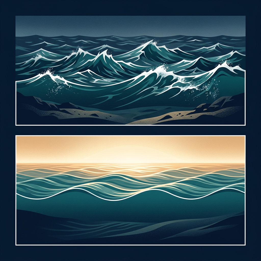
Swell rows versus wind-wave rows
Buoy readings and detailed apps split the sea state in two. NOAA lists swell height, swell period and swell direction separately from wind-wave height, period and direction, and states that the dominant period is always one or the other. When the dominant period belongs to the wind-wave component, the total height on the front page of your app is mostly chop.
This is the single most useful habit to build. Open the detailed view, find which component owns the energy, and judge the day on that row rather than the headline figure.
Direction is spot-specific, not universal
Swell direction is the compass bearing the energy is arriving from. Boardriders explain that swell is born where storm wind acts on the ocean surface, and that its strength depends on wind intensity, duration and fetch, the size of the area the wind works over. That energy then travels in a straight line until land gets in the way.
Whether it reaches you depends on the geometry of your coast. A southwest swell that turns one beach on can leave the bay next door flat. Keep a short note on your phone of the directions that have worked at your local break, and the forecast stops being abstract. Planning a trip instead? The destination guides list the swell windows and seasons each spot needs.
Wind: the fastest way to ruin good swell
Boardriders put it simply. Offshore wind, blowing from land to sea, grooms and hollows the wave. Onshore wind crumbles it and turns the surface to texture. Cross-shore sits between the two and usually favours one end of the beach.
Wind strength matters as much as direction. Five knots offshore is perfect, twenty-five knots offshore will blow you off the back of every wave. Early morning is often the calmest window, which is a good reason to check whether your wetsuit thickness is right for dawn water temperatures rather than midday ones.
Tide, and why the rule of thumb fails
Tide changes the depth of water over the sandbar or reef, which changes where the wave stands up and how hard it breaks. There is no universal best tide. Some banks only work on a pushing mid, some reefs need the extra depth of a high, and some beach breaks close out at anything above half.
Get the times from an official source such as NOAA Tides and Currents or your national tide authority, then keep a session log of which stage of tide worked. Three or four entries teach you more about your break than any general guide.
Worked example: same height, different day
Report A reads 3 ft at 15 seconds from the southwest, wind 5 knots offshore, low tide pushing. Report B reads 3 ft at 6 seconds from the northeast, wind 18 knots onshore, high tide. Both apps show 3 ft on the front screen.
- Report A: long-period groundswell, so faces will exceed the reading and sets will arrive in order.
- Report A: offshore wind at 5 knots holds the face up without making take-offs difficult.
- Report B: 6 seconds sits in SurferToday's average wind-swell band, so expect short, crumbly waves.
- Report B: 18 knots onshore adds surface chop the swell has no power to carry through.
- Same number on screen, one session worth waking up for and one worth skipping.
Turn the forecast into a board choice
Reading the report well only pays off if the board under your arm suits what it describes. Short period and small height calls for volume and planing area, which is exactly what the wider outlines in the twin fin range and the small-wave shortboards are built for. Long period and clean wind is when a performance board earns its keep.
If you are still working out what litres you should be on, run your numbers through the volume calculator first, then match the board to the forecast rather than the other way round. Newer surfers can start with the beginner board guide and treat anything under 8 seconds as practice conditions.
What the sources say
| Source | Published statement |
|---|---|
| NOAA NDBC — Glossary of terms for wave information | Swells are waves not produced by the local wind and come in at a higher period (longer wave length) than waves produced by the local wind. Dominant period is the period with maximum energy and is always either the swell period or the wind-wave period. |
| NOAA NDBC — How significant wave height is calculated | Significant wave height, WVHT, is approximately equal to the average of the highest one-third of the waves, as measured from the trough to the crest of the waves. |
| SurferToday — The importance of swell period in surfing | Short intervals of time between 1 and 10 seconds may indicate that one spot is pumping surf generated by local winds. When surf report data tells of 20-second periods between waves, as well as light offshore winds, the chances of enjoying a glassy, perfect-peeling wave experience dramatically increase. |
| Eisbach Riders — How to read a surf report | Given identical swell heights, a 14-second swell will almost always produce better, more surfable waves than a 7-second swell. |
| Boardriders — How to read a surf report | Swell formation depends on three main factors: wind intensity, duration, and the extent of the affected area (the fetch). An offshore wind grooms and hollows out the waves, creating ideal conditions. |
Video guides


Related reading
FAQ
How do you read a surf report?
Read the swell period first, then the swell height, then the direction, then wind, then tide. Period tells you how much energy the swell carries, height is an open-ocean statistical number rather than the face you ride, direction decides whether your spot even sees the swell, and wind and tide decide whether it is surfable when it arrives.
What is a good swell period for surfing?
SurferToday's published bands put 1 to 5 seconds at poor local chop, 6 to 8 seconds at average wind swell, 8 to 12 seconds at good and improving groundswell, and 13 seconds and above at high-quality surf. Eisbach Riders make the same point directly: at identical heights a 14-second swell beats a 7-second swell almost every time.
Is the swell height the same as the wave height I will surf?
No. NOAA defines significant wave height as approximately the average of the highest third of waves measured trough to crest in open water. Eisbach Riders note that wave faces often run close to double the reported swell height at exposed beach breaks, while a sheltered bay on the same reading may barely break.
What is the difference between groundswell and windswell?
NOAA describes swell as waves not produced by the local wind, arriving at a higher period than locally generated wind waves. Groundswell has travelled from a distant storm and arrives organised with long gaps between sets. Windswell is made nearby, arrives at short period and tends to be choppy and closed out.
Which wind is best for surfing?
Offshore, blowing from the land out to sea. Boardriders describe offshore wind as grooming and hollowing the wave, while onshore wind crumbles it and makes the surface choppy. Light or variable wind, common around dawn, is the next best case.
Where does surf report data come from?
Most forecasts combine model output with real measurements from offshore buoys. NOAA's National Data Buoy Center publishes swell height, swell period, swell direction, wind-wave height, wind-wave period and dominant period for each station, which is the raw data underneath the friendly app display.
Compiled from 5 published buoy and forecasting sources and 4 video guides.